 English (UK)English (UK)
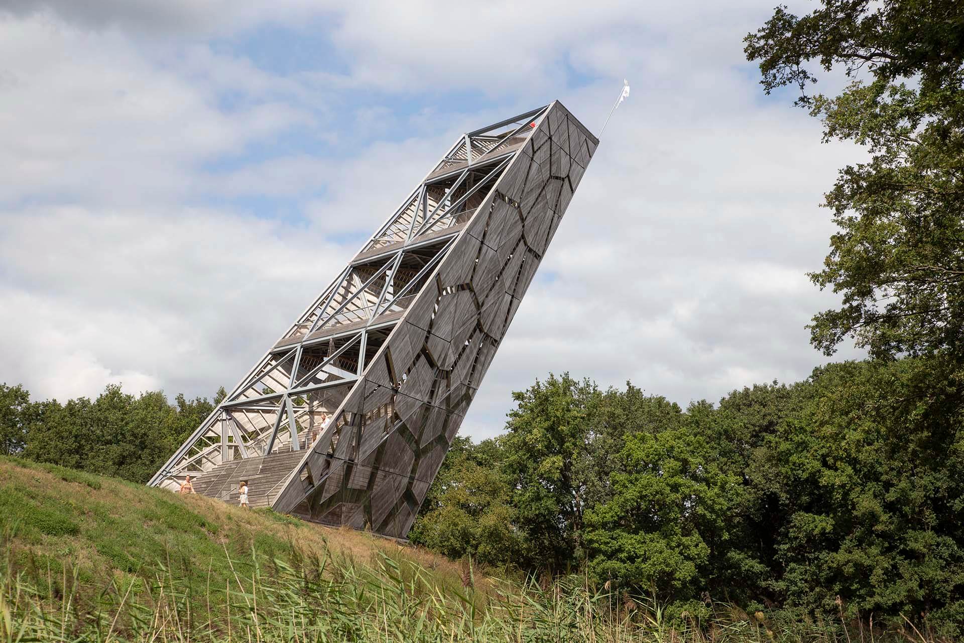
Fort de Roovere is situated in the middle of the green landscape just outside Bergen op Zoom and is a special piece of military history. The fort was rapidly constructed in 1628, in just six months. Around 4,000 men worked on three forts that together formed a water defence line: Fort de Roovere, Moermont, and Pinsen. The name De Roovere refers to Pompejus de Roovere, the then-mayor of Bergen op Zoom, who, together with the provinces of Zeeland and South Holland, financed its construction to protect the city from enemies from the east.
Fort Roovere is a so-called earthwork fort. The high ramparts were built of earth, which made the fort difficult to see and well-resistant to cannon fire at the time. Only important buildings, such as the entrance gate, the powder magazine, and the commander's residence, were made of stone. There were also wooden barracks for the soldiers, a small church, a small school, and warehouses.
The fort was part of the West Brabant Water Line, which together with other defence lines formed the Zuider Water Line. Although the fort was attacked multiple times, it lost its military function in 1820. After that, nature slowly took over the grounds and farmers used the land for fields and pastures.
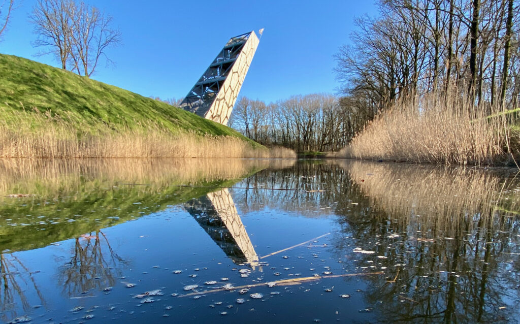
In 2010, Fort de Roovere underwent a major renovation. The moats were refilled with water and the fort was reopened to public view, with great respect for the nature that had since developed there. This also brought about special new elements, such as the famous Moses Bridge, which runs through the water like a trench, and the 35-metre-high Pompejus de Roovere viewing tower. From the top, you have a beautiful view over the old inundation area.
The grounds are freely accessible and ideal for anyone who loves heritage, nature, and modern architecture.
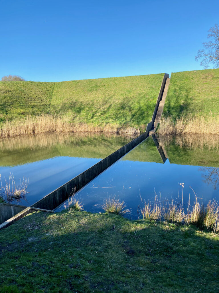
Moses Bridge
The content is protected by copyright. Copying is not possible.


